Pointe de Ripaille Hike
Michele and I are spending a month or so in Switzerland, to chill and to hike. This was a hike above Champéry, exploring the alpine valley above the town, facing Les Dents du Midi.
During our visit to Switzerland, we are spending three weeks living in Champéry, a town in the Valais mountains not far from Lausanne.
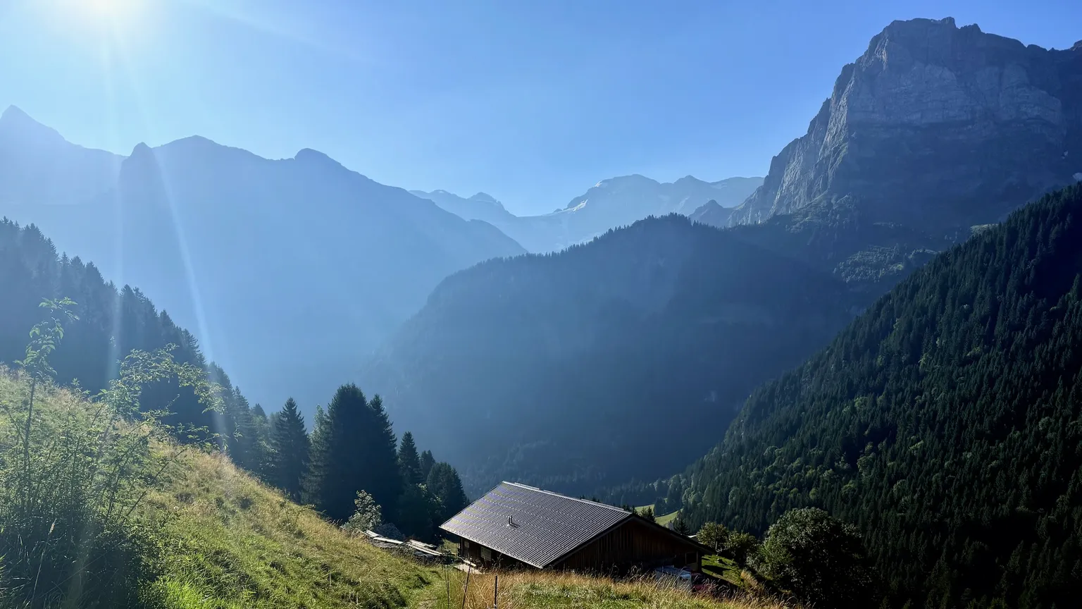
I took a day to go exploring up into the mountains to the north of the town, aiming to hit a high point called "Pointe de Ripaille" that overlooks the Portes du Soleil ski area.
See the full photo album on Flickr.
Hike Stats
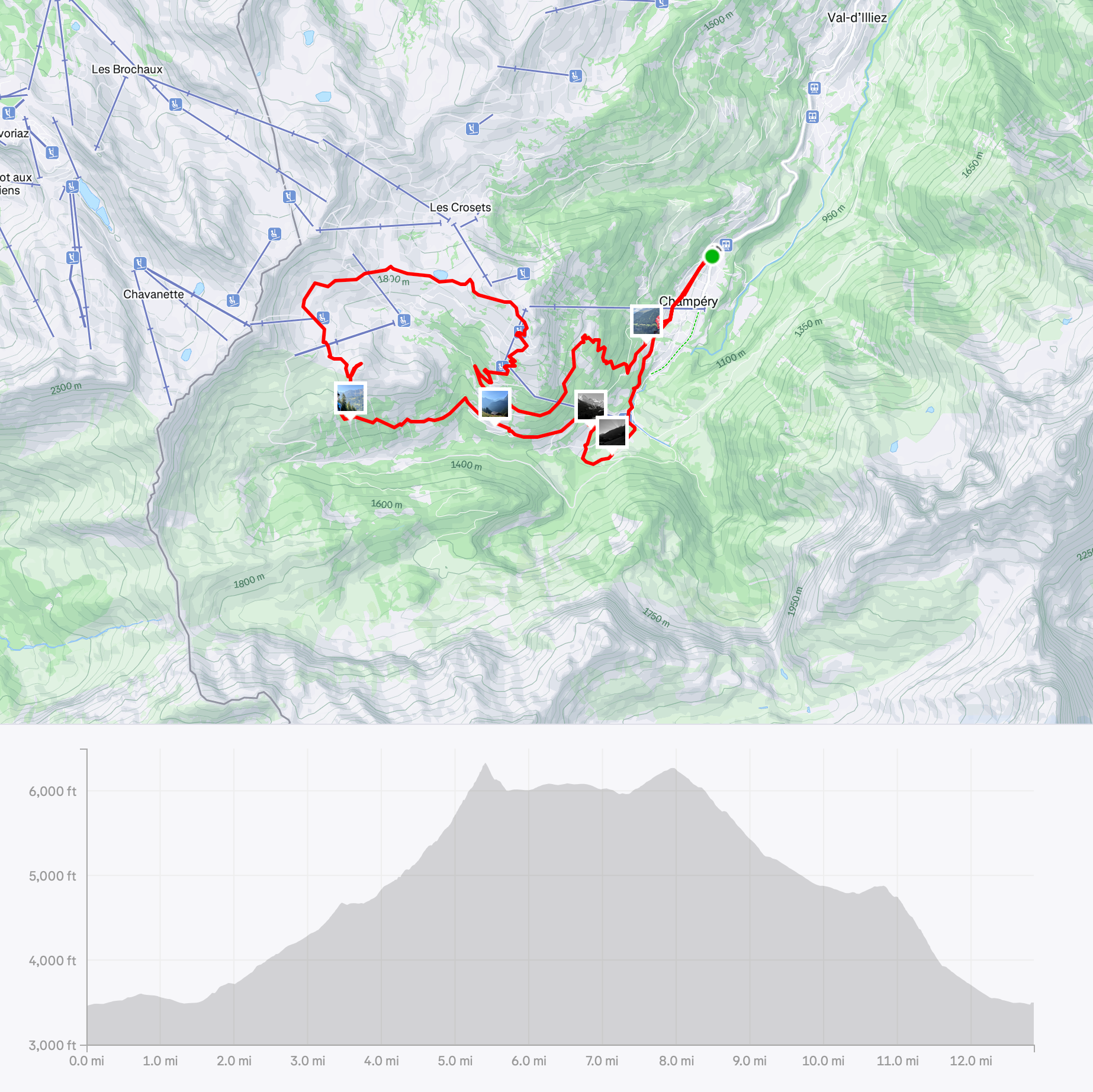
- Strava: map, route, and stats
- Trailhead: The town of Champéry
- Trails: Route to Pointe de Ripaille, then Crois de Culet, then the high road back to town
- Distance: 13 mi
- Elevation: 3400 ft -> 6000 ft -
- Hiking time: 5:30
- Weather: Perfect. Sunny and cool. Hazy, though.
- Conditions: Up to Pointe de Ripaille was fantastic. The next bit was an annoying high road. The last bit down to town was fine, then turned rocky/rooty/steep as if it were in New Hampshire. Ugh.
Journal
After several days of working and projects, took a day to get outside, explore, and get some exercise. I wanted to see what was around the next corner and up over that ridge, and this hike was perfect for it.
Finally it wasn't too hot.. we've still got the haze to deal with this.
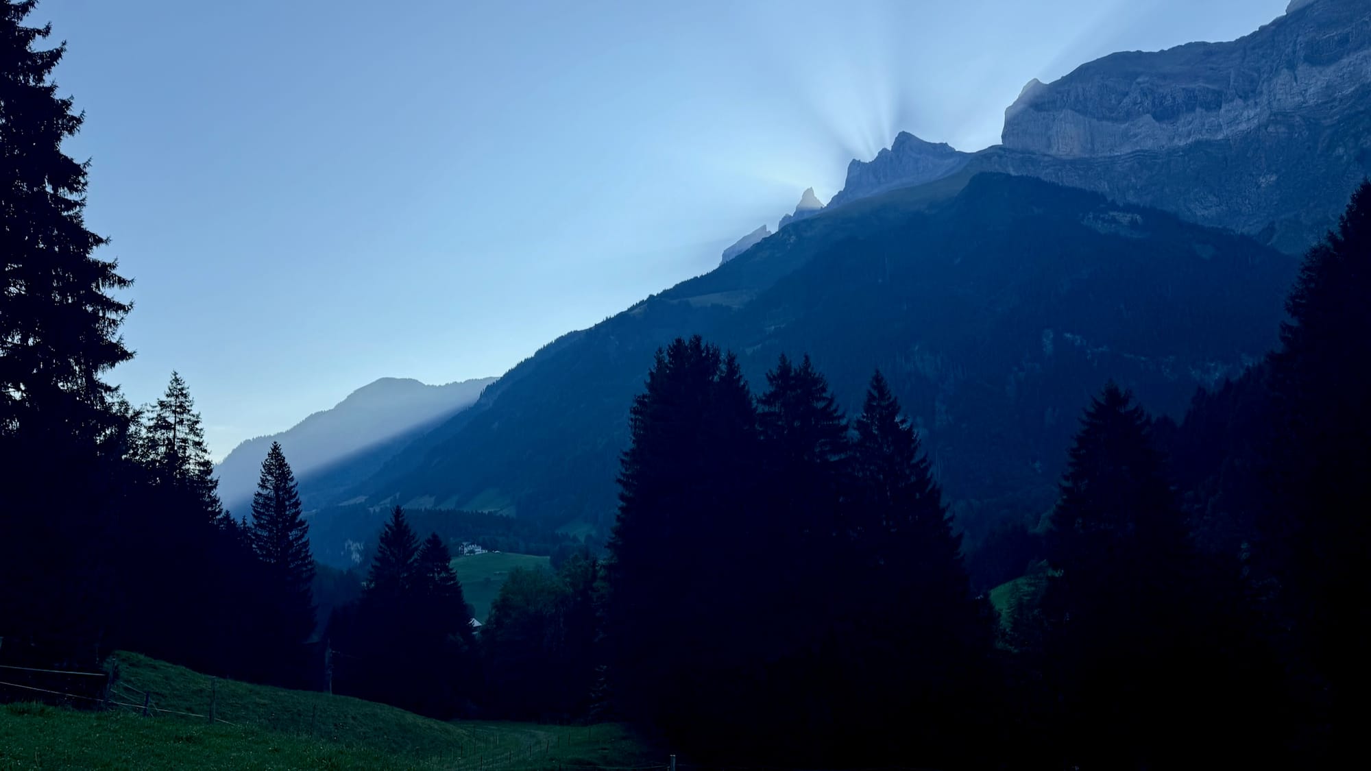
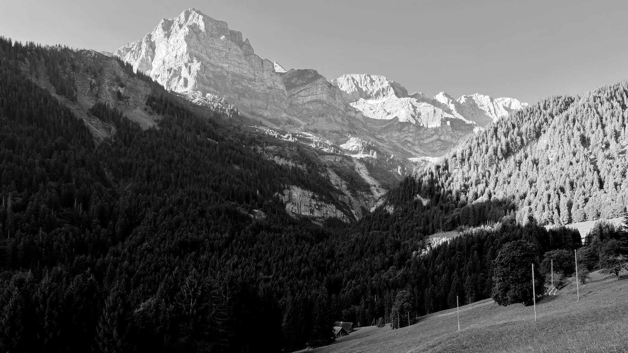
Nothing particularly notable about the hike itself but I did get a few good photos of the light playing games with Les Dents du Midi.
I'm starting to really love this town. So much to explore.
See also: